Boundary Surveys
Boundary Marking & Site Plans
Planning a build? Our accurate cadastral land surveying and site plans ensure smooth progress and timely certifications. Get in touch to keep your project on track and make the most of your land.
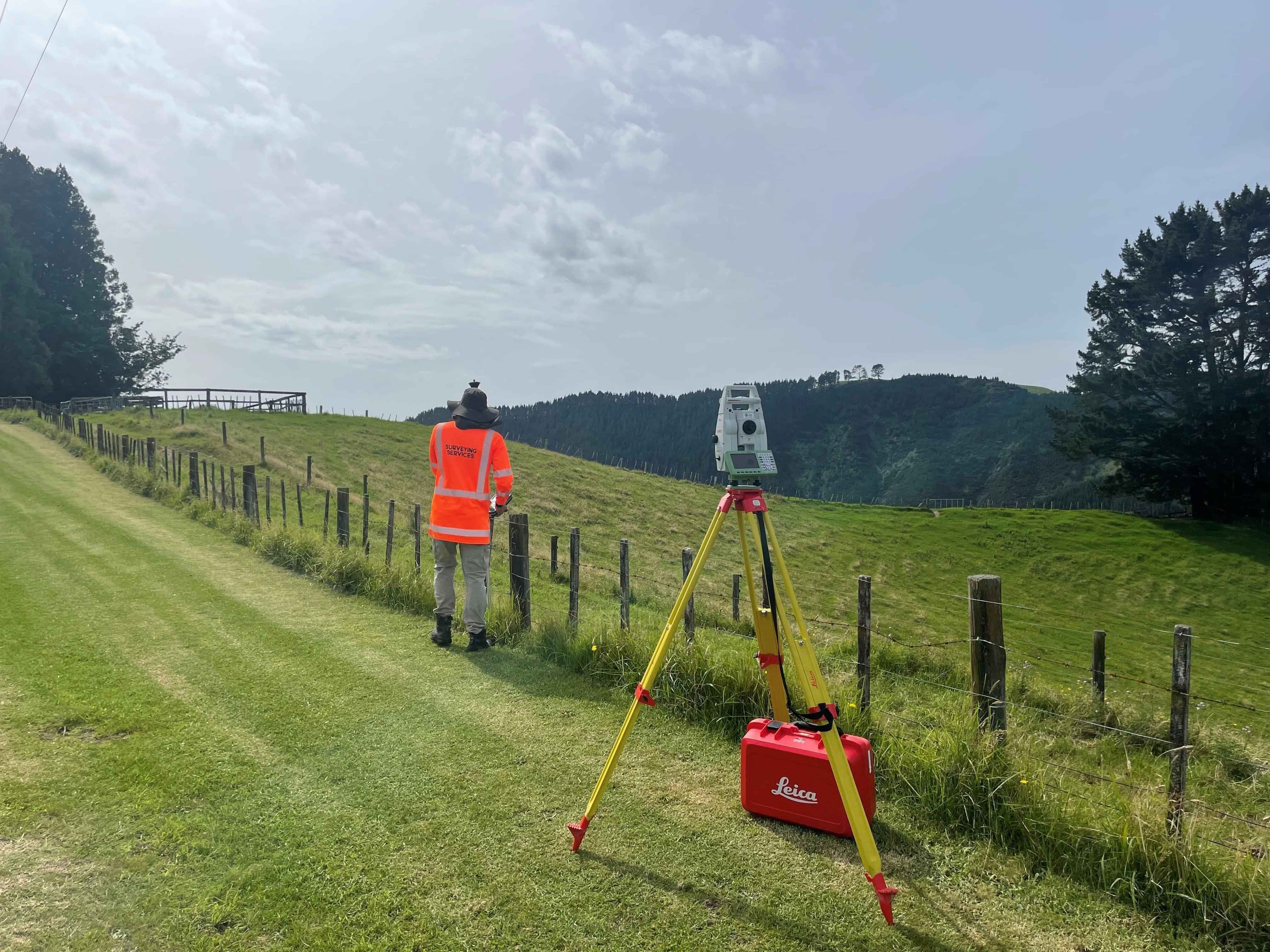
Council Requirements & Topographical Surveys
Councils are demanding more proof of compliance, especially around height limits, boundary clearances and yard setbacks. Our land surveying and plans provide clear evidence to meet these requirements.
As licensed cadastral surveyors we can certify both plans and final builds, helping ensure Code of Compliance is issued without delay. Regular clients involve us early to avoid hold-ups. We also carry out topographical and boundary surveys to support design and construction with accurate council-ready data.
Cadastral Surveyors
Forget the red tape. Every rule, report and requirement are covered with precision. Accurate plans strengthen your case from the start. Our expertise will provide a smoother path forward so you can make the most of your land.
Ready to take the next step?

Our Promise
More than just consent, full support from start to title.
Your project deserves more than a tick-box approach. From subdivision planning to legal surveying, you'll be supported every step of the way. Guidance is provided for connecting services, managing construction steps and ensuring everything is in place to obtain your titles so you can make the most of your land.
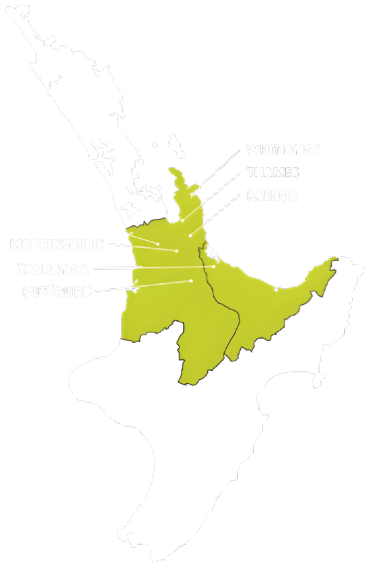
TAURANGA - BAY OF PLENTY
P: 07 578 2500
tauranga@surveyingservices.co.nz
194 Fifteenth Ave, Tauranga, 3112
WHITIANGA - COROMANDEL
P: 07 866 0088
whitianga@surveyingservices.co.nz
26 Lee Street, Whitianga, 3510
THAMES - COROMANDEL/HAURAKI
PAEROA - HAURAKI
MORRINSVILLE - MATAMATA PIAKO
PUTARURU – SOUTH WAIKATO
HAMILTON - WAIKATO