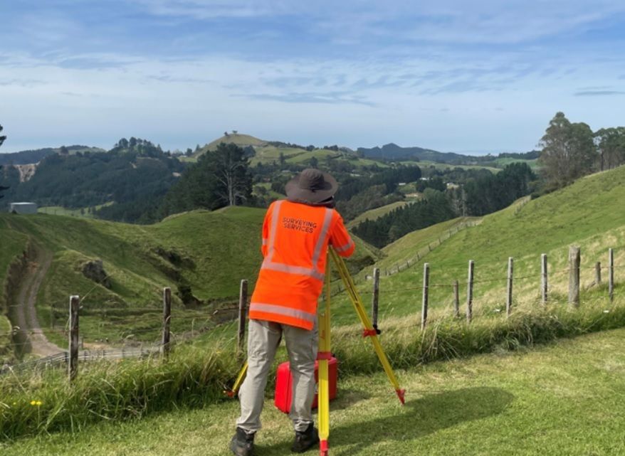
Topographical Surveys
Value of a Topographical Survey
When planning construction or site improvements, understanding the true shape and constraints of the land is vital. A topographic survey gives architects and engineers the insight needed to unlock a property’s full potential and make the most of your land.
Accurate Topographical Surveys for Smarter Planning & Design
Why topographic surveys matter.
Successful building and landscaping projects start with a clear understanding of the land. A topographical survey provides a detailed map showing site contours, slopes, levels, and existing features such as trees, buildings, and utilities. Architects and engineers rely on this information to design effectively, ensuring that plans fit the land’s shape and meet compliance requirements. By identifying constraints early, a topo survey reduces costly surprises and allows you to make informed decisions from the outset.
Compliance Focus
Topographical surveys provide essential site data for new builds, additions and earthworks. Councils require them to confirm compliance with boundaries, setbacks and daylight rules. On complex sites, they balance cut and fill, saving costs. Surveys also track environmental change and give certainty for smarter planning, streamlined construction and council approval.

Our Promise
More than just consent, full support from start to title.
Forget the red tape. Every rule, report and requirement are covered with precision. Accurate plans strengthen your case from the start. Our expertise will provide a smoother path forward so you can make the most of your land.
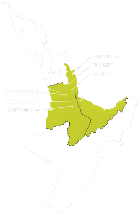
TAURANGA - BAY OF PLENTY
P: 07 578 2500
tauranga@surveyingservices.co.nz
141 Cameron Road, Tauranga, 3144
WHITIANGA - COROMANDEL
P: 07 866 0088
whitianga@surveyingservices.co.nz
26 Lee Street, Whitianga, 3510
THAMES - COROMANDEL/HAURAKI
PAEROA - HAURAKI
MORRINSVILLE - MATAMATA PIAKO
PUTARURU – SOUTH WAIKATO
HAMILTON - WAIKATO