Limited Titles
Clarify Land Boundaries Before Selling or Building
If you plan to sell, build or need Council certification, a limited title may hold things up. A licensed cadastral surveyor will be required to remove the limitation. If your title is a limited title and you want to remove it, contact us and talk to someone who will give you the expert advice you need so you can make the most of your land.
Expert guidance. Clear communication. Proven results.
Do You Need to Act?
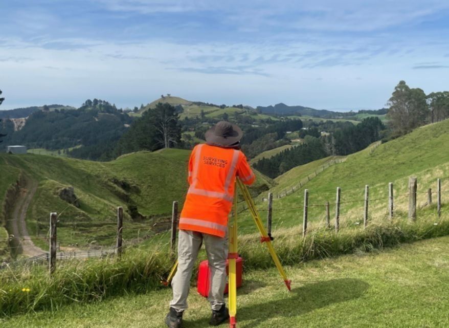
We investigate land records, gather site information on the occupied area in the field to enable the new boundary to be accurately surveyed and prepare the legal plan needed to remove limitations. This helps protect your property’s value and ensures you meet legal and Council requirements.
Let us guide you through the process and give you certainty around what you own. Our expertise can help you make confident decisions about your land.

Our Promise
More than just consent, full support from start to title.
Forget the red tape. Every rule, report and requirement are covered with precision. Accurate plans strengthen your case from the start. Our expertise will provide a smoother path forward so you can make the most of your land.
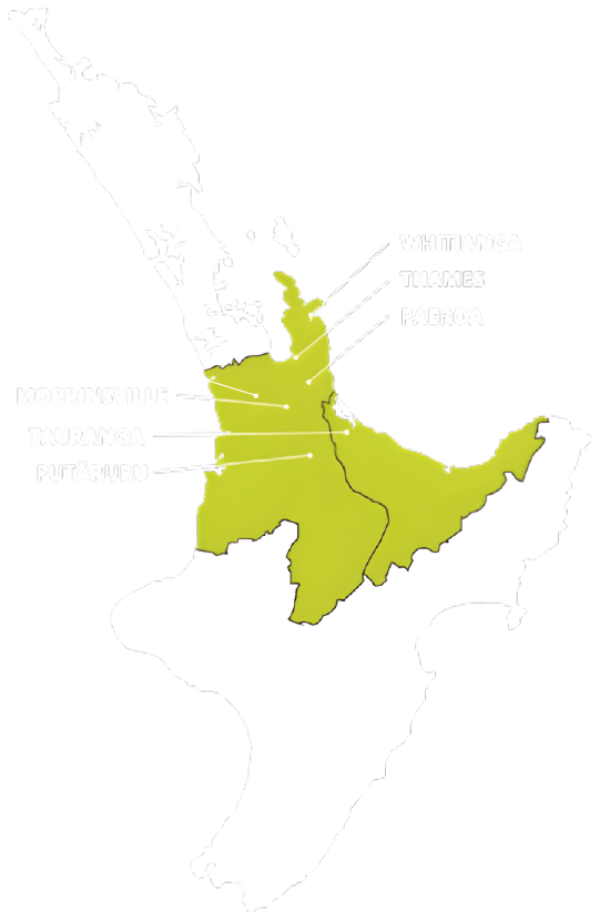
TAURANGA - BAY OF PLENTY
P: 07 578 2500
tauranga@surveyingservices.co.nz
194 Fifteenth Ave, Tauranga, 3112
WHITIANGA - COROMANDEL
P: 07 866 0088
whitianga@surveyingservices.co.nz
26 Lee Street, Whitianga, 3510
THAMES - COROMANDEL/HAURAKI
PAEROA - HAURAKI
MORRINSVILLE - MATAMATA PIAKO
PUTARURU – SOUTH WAIKATO
HAMILTON - WAIKATO