If you’ve ever looked at your property title and wondered why the river no longer lines up with your legal boundary, the answer is simple: time.
Rivers, streams, and coastlines, collectively known as natural boundaries, move gradually or suddenly over time, but your legal boundary does not. It stays fixed at the location it was defined when your title was created. So, if the river has shifted course since then, your boundary might now appear to be in the “wrong” place.
How Did the River Move?
How the river moved is key to understanding what happens to your boundary.
Gradual Movement – Accretion and Erosion
If the river changed course slowly due to erosion or accretion, the law may allow the boundary to move with it.
If the river has gradually eroded your land, a future survey may reflect the top of the current riverbank as your new boundary.
If you've gained land through accretion, you can’t automatically claim it. To add it to your title, you need to apply for an accretion claim, which is a legal process. While it’s not particularly complex, many lawyers and property owners aren’t familiar with it, so it often doesn’t happen. The result is a legal boundary that remains in the old location, even though the river has moved.
Sudden Movement – Storms or Human Intervention
If the river changed course suddenly—such as during a storm, or through human-made works like stopbanks—the boundary does not change. You cannot claim the lost or gained land through accretion. However, it may still be possible to claim to the centre of the dried-up riverbed under a common law principle known as usque ad medium filum aquae (to the centreline of the river).
What If the River Is Now on My Neighbour’s Land?
In some cases, the river may now flow through your neighbour’s property. That means you might be informally using land that is no longer legally yours, while your neighbour can’t use it either. These situations are often left unresolved for years because correcting them isn’t straightforward.
If both landowners are affected, the only way to resolve it is through a boundary adjustment. This requires agreement from both parties, a full Land Transfer survey, resource consent from council, and possibly a sale and purchase of the affected land.
Who Owns the Dry Riverbed?
Until it’s formally claimed and included in a title, the dry riverbed is technically owned by the Crown. However, adjacent owners may claim to the centreline of the old bed, provided the correct survey and legal processes are followed. Doing so removes any uncertainty about ownership.
Can It Be Fixed?
Yes, but it takes time, effort and money. In many cases, the cost of updating a natural boundary outweighs the value of the land gained or lost. That’s why people often leave it alone.
But if having accurate boundaries matters—whether for peace of mind, development, or sale—it can be fixed.
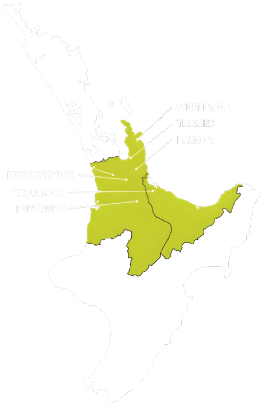
If this sounds like your situation, get in touch with a professional surveying company like Surveying Services Ltd. We’ll assess what’s going on and guide you through the steps to set it right.